
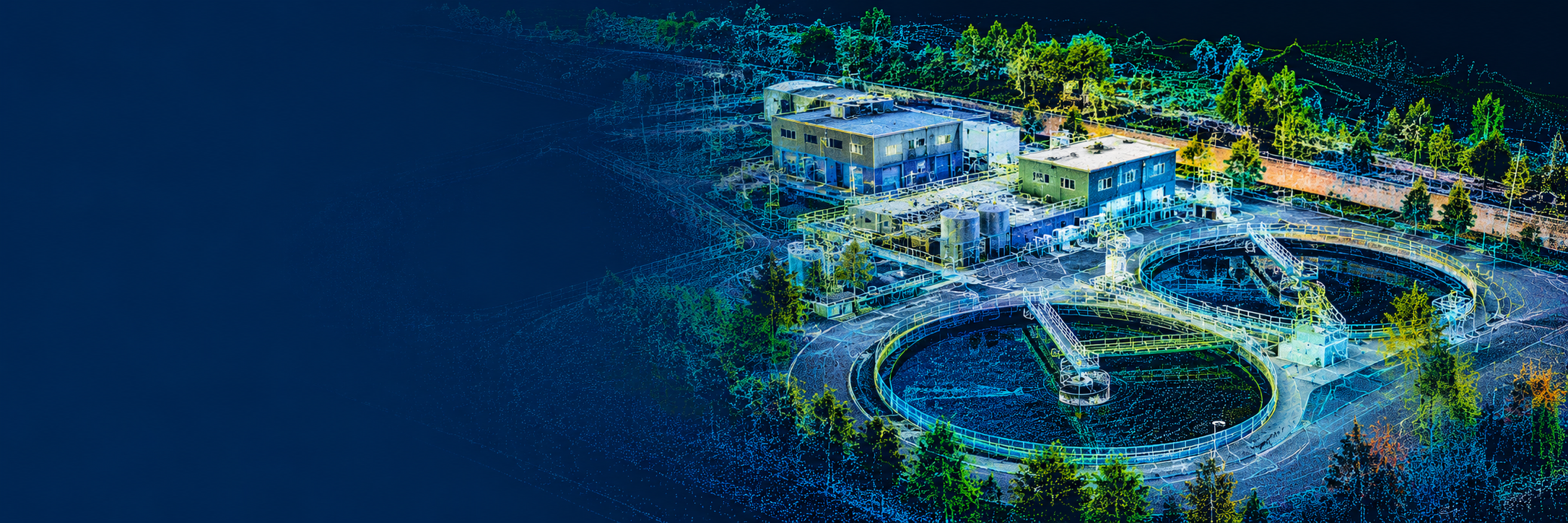
GIS • REALITY CAPTURE • DIGITAL TWINS • DRONE MAPPING
Turning real-world facilities into intelligent spatial information.
OnPoint Spatial combines GIS, LiDAR reality capture, digital twins, and drone mapping to help organizations capture, understand, and manage their facilities and infrastructure.
GIS & ASSET MANAGEMENT
Turn location and asset data into practical systems for operations, planning, maintenance, and decision-making.
Capabilities:
Asset Mapping · Field Data Collection · Web GIS · Dashboards
WHAT WE DO
One Spatial Partner. From Capture to Action.
OnPoint Spatial brings GIS, reality capture, digital twins, and drone mapping together into one connected workflow—turning field data into useful information you can visualize, manage, and act on.
DIGITAL TWINS
Transform captured environments into interactive digital experiences connected to useful facility information.
Capabilities:
3D Walkthroughs · Asset Hotspots · Documents · Facility Visualization
REALITY CAPTURE
Capture existing conditions in high detail using LiDAR, imagery, and modern 3D reality-capture technology.
Capabilities:
LiDAR Scanning · Point Clouds · Floor Plans · Existing Conditions
DRONE MAPPING
Capture sites and infrastructure from above for mapping, inspection, documentation, and project monitoring.
Capabilities:
Aerial Mapping · Inspections · Progress Documentation · Site Imagery
INDUSTRIES & SOLUTIONS
Built for the places where people work, operate, build, and gather.
OnPoint Spatial combines GIS, reality capture, digital twins, and drone mapping into solutions tailored to each property, facility, and operational environment.
UTILITIES & FACILITIES
Connect field conditions, infrastructure, assets, and GIS into a clearer operational picture.
Solutions: FacilityView · AssetView · UtilityTwin
CONSTRUCTION & INSPECTIONS
Document changing site conditions, monitor progress, and create a visual record from construction through completion.
Solutions: Progress Documentation · Drone Inspections · Existing Conditions
BREWERIES & WINERIES
Create immersive property experiences while connecting facilities, equipment, events, and site information.
Solutions: BreweryView · WineryView · Drone Mapping
RV PARKS & EVENT PROPERTIES
Turn complex properties into easier-to-understand visual experiences for guests, staff, planning, and operations
Solutions: RV ParkView · EventView · Site Mapping